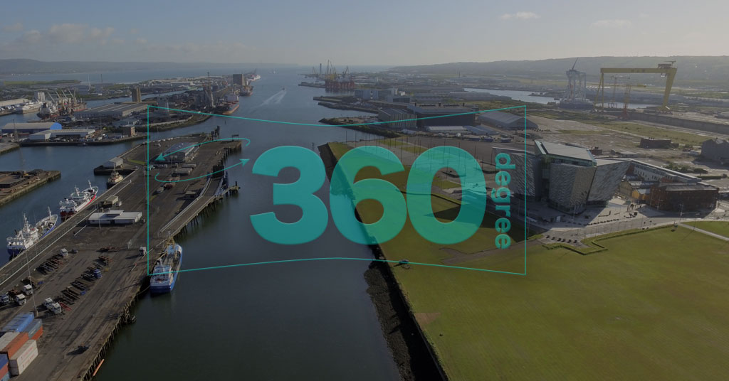
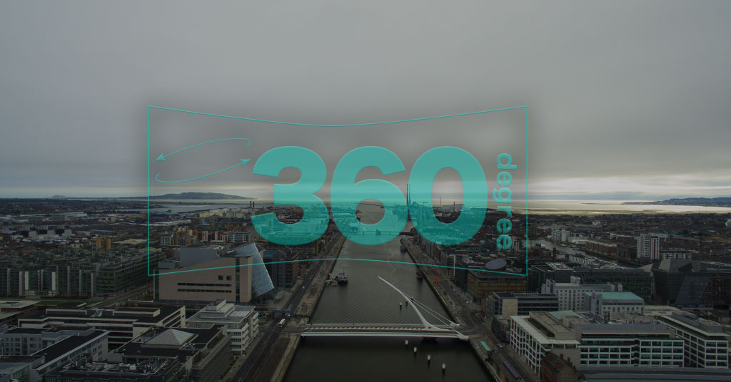
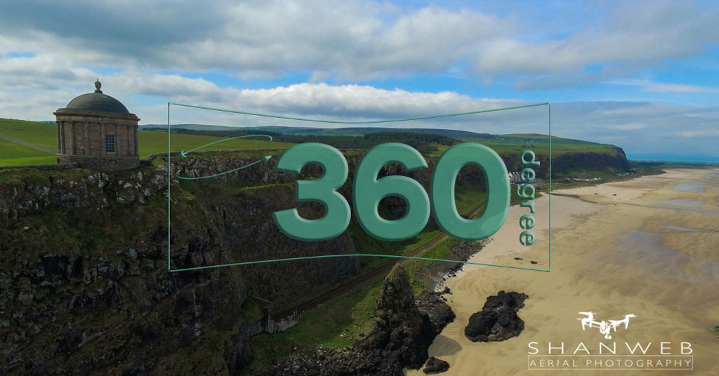
From ground level to 400 feet internally & externally, we can capture quality 360º Panoramas
Using our fleet of state of the art drones we provide aerial surveys and inspections of your site. This can be a one off flight or a repeat survey carried out at a frequency to suit your project and budget. The most popular package we offer would include a before, during and after survey, resulting in a 2D & 3D rendered model. With a high resolution image and video progress update in between. Other projects may require a survey every month or every 2 months. It all depends on your needs. We can be flexible and design a package to suit your individual needs.
The benefit of using drones to conduct site surveys and progress reports is the speed and cost efficiency. The entire process can be completed in less than 24 hours from being on site to viewing the rendered model and data. The high resolution orthomosaic can be shared via a pdf format for ease of use. We can also provide large format prints of the entire site for safety and induction, project monitoring.
All our aerial data can be exported as a point cloud to be seamlessly integrated into your BIM software.
••Please note: we provide imagery, video and 3D Models to allow an assessment to be made, We are not surveyors, engineers or qualified to assess the safety or condition of the object of any survey, inspection or mapping project undertaken. Shanweb would recommend utilising a professional who specialises in the subject of the survey, inspection or map to best advise you if required.